- Home
- Braemac Blog
- GPS vs GLONASS
GPS vs GLONASS
Why Using Both is the Smart Choice for Tracking Applications

About Cobus Heukelman

In the last decade, Global Navigation Satellite System (GNSS) solutions have transformed tracking applications, enabling everything from fleet telematics to precision asset monitoring. Developers are increasingly turning to high-precision GNSS (HPG) to deliver the accuracy and reliability required for today’s location intelligence. The GNSS market size reached an estimated $301.37 billion in 2024, and is projected to reach a whopping $703.21 billion by 2032.
However, as GNSS adoption grows, so does the confusion around individual satellite systems. Many are still asking, “What exactly is GLONASS, and where does it fit in with GPS?” More importantly, “Which one should I use for my tracking design?”
For engineers developing high-performance receivers, the answer isn’t GPS or GLONASS. It’s both. Leveraging multi-constellation data strengthens global coverage, reduces time-to-first-fix, and delivers more resilient positioning, navigation, and timing (PNT) performance across real-world environments.
An Overview of Global Navigation Satellite Systems (GNSS)
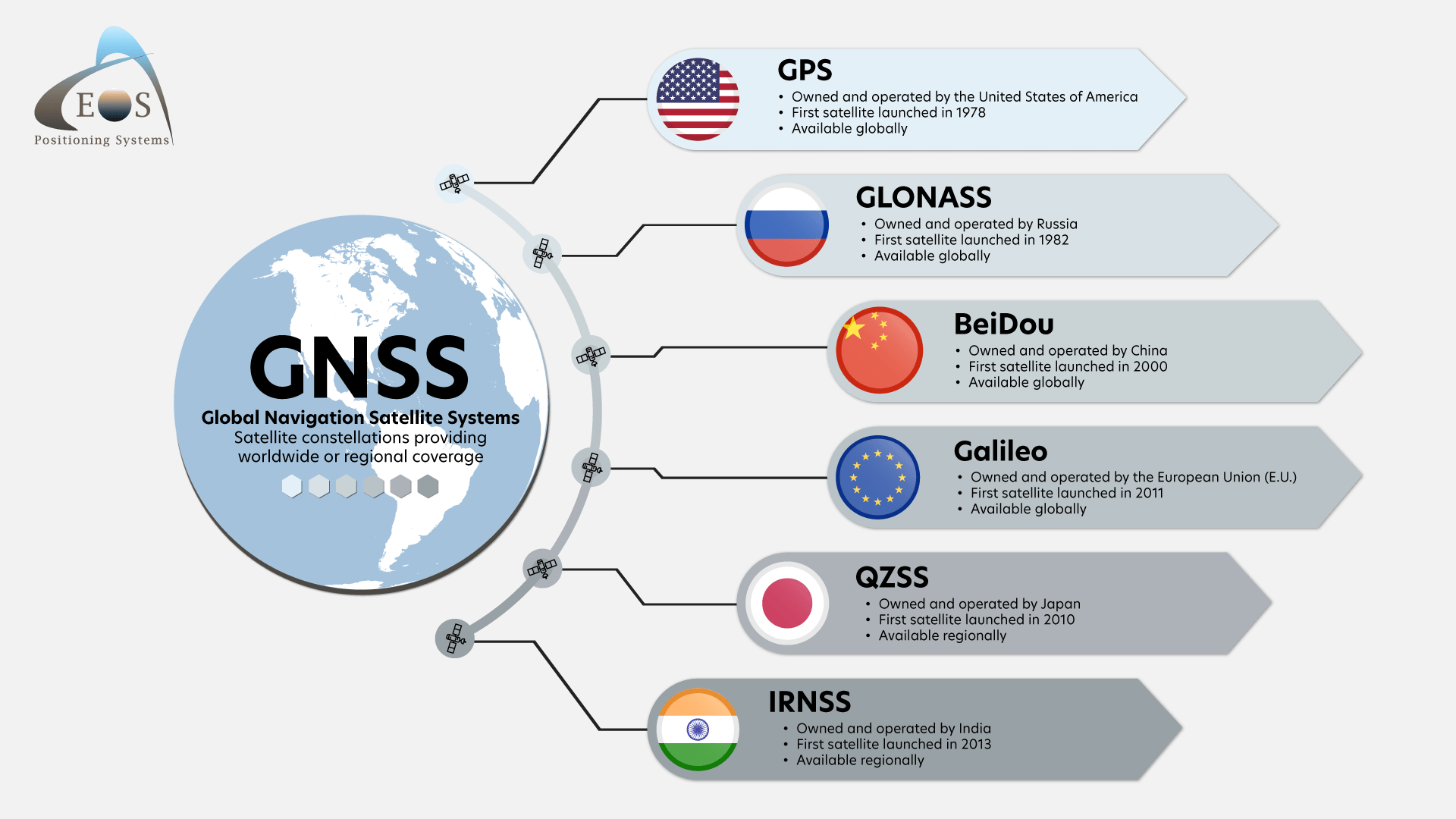
Source: EOS-GNSS
To understand the differences between GPS and GNSS, it helps to understand the broader GNSS ecosystem. A group of satellites that provide location information is called a constellation. GNSS refers to any constellation of satellites that broadcast signals to Earth, where receivers can determine PNT data.
Global and Regional Constellations
GNSS is not a single system. It’s an umbrella term encompassing multiple satellite constellations, including:
- Global Systems: GPS (U.S.), GLONASS (Russia), Galileo (EU), BeiDou (China)
- Regional Systems: QZSS (Japan), IRNSS/NavIC (India)
Every constellation orbiting Earth continuously transmits timing and positioning data. Global Positioning System (GPS) is the oldest GNSS constellation. Developed by the US military, it became globally operational in 1995. While GPS and other global systems offer worldwide coverage, regional systems like Japan’s QZSS only operate in specific geographic zones such as Asia and Oceania.
How GNSS Positioning Works
For accurate 3D positioning, a receiver generally needs to “see” at least four satellites to calculate latitude, longitude, and elevation. Increasing the number of visible satellites improves accuracy and resilience. That’s why modern receivers support multiple constellations, the more satellites in view, the lower the chance of signal loss and the more reliable the performance in obstructed environments like cities, forests, or industrial areas.
GNSS signals can suffer from interference, reflections, and atmospheric delays. High-precision receivers use advanced filtering, multi-frequency measurements, and error correction to counter these issues and maintain stable tracking.
Why Global Positioning Matters for Tracking Applications
GNSS enables the intelligence behind today’s tracking and telematics systems. This technology underpins critical tracking and situational awareness across commercial, industrial, and military sectors.
When integrated into vehicles, assets, equipment, or autonomous systems, GNSS delivers data insights such as:
- Route history and geofencing
- Speed and driving behavior metrics
- Location-based diagnostics and predictive maintenance
- Asset visibility for logistics and supply-chain operations
- Real-time battlefield awareness, troop movement tracking, and mission coordination in military concepts
Fleet operators use GNSS to optimize fuel efficiency, enhance safety, and minimize downtime. Military and defense agencies rely on it for precision navigation, targeting support, synchronization of communication systems, and reliable positioning in contested environments.
The Differences Between GPS and GLONASS The US has committed to maintaining at least 24 operational GPS satellites, 95% of the time. Currently, 31 GPS satellites orbit the Earth at an altitude of approximately 11,000 miles providing users with accurate PNT data anywhere in the world and in all weather conditions.
Like GPS, Russia’s GLONASS constellation was also completed in 1995 but experienced a loss of satellites towards the end of the decade. Funding and modernization efforts have since restored it to a full constellation of 24 satellites.
In terms of positional accuracy, GPS is slightly optimized, but GLONASS offers improved accuracy at high latitudes (far North or South) due to satellite positioning.
GPS and GLONASS Working Together
Modern receivers typically use GPS and GLONASS simultaneously, which increases the number of satellites in view and reduces the time needed to acquire a position fix. GLONASS satellites are placed in higher-inclination orbits than GPS, which helps improve coverage in areas with challenging visibility, like:
- Dense urban cities
- Forested routes
- Industrial environments with metal structures
- Environments with frequent signal reflections
Real-world testing shows that adding additional constellations improves satellite availability and overall positioning reliability. Paired with high-quality antennas, multi-constellation receivers maintain stronger tracking performance in environments affected by interference or signal blockage.
High-Precision GNSS Solutions Now Available at Braemac Americas
Braemac Americas is a global electronics distributor helping engineers and industrial designers achieve development goals through comprehensive design-phase support, available-to-ship products on hand, and a broad selection of specialty semiconductor and IoT communication products.
As a one-stop destination for connected solutions, our curated portfolio is purpose-built to support next-generation GNSS innovations with a wide range of embedded solutions from high-precision GNSS modules and cellular modems to complete explorer kits for prototyping and testing.
Airgain Skywire Cellular Modems
Airgain's Skywire 4G LTE Cat 4 and Cat 1 WW Embedded Cellular Modems are designed to deliver fast, reliable cellular connectivity and asset tracking applications worldwide. Both modems are certified for use with AT&T and Verizon networks. Leveraging integrated GNSS positioning, and dual SIM capability, Skywire modems provide data rates up to 150 Mb/s, a 3.4 V to 4.2 V input range, and a rugged operating temperature of -40 °C to +85 °C.


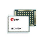
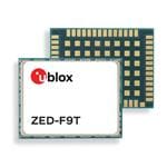
u-blox ZED-F9 Series
The ZED-F9 platform from u-blox delivers centimeter-level accuracy to tracking applications. Leveraging multi-band and multi-constellation performance, ZED-F9 positioning modules are well-suited for industrial and precision applications.
ZED-F9 solutions provide reliability in challenging environments such as open sky, roads, tunnels, and underground parking. Ideal for autonomous vehicles, and attitude-sensing systems, their compact surface-mount form factors, industrial certifications, and built-in support for correction services simplify integration while maintaining high availability and precise positioning.


u-blox MAX-M10S-00B module
The MAX-M10S module leverages the u-blox M10 standard-precision GNSS platform to deliver exceptional sensitivity and fast acquisition for all L1 GNSS signals. It supports concurrent reception of GPS, GLONASS, Galileo, and BeiDou, maximizing position availability even in challenging environments such as deep urban canyons.
Super-Signal (Super-S) technology improves RF sensitivity and dynamic position accuracy, while extremely low power consumption enables long battery life for devices like asset trackers. Integrated LNA and SAW filters for passive antennas, along with backward pin-to-pin compatibility with previous ublox generations, simplify upgrades while maintaining reliable GNSS performance.
u-blox High Precision GNSS (HPG) Explorer Kits
u-blox High Precision GNSS (HPG) Explorer Kits provide a complete prototyping platform for centimeter-level positioning applications. Each kit includes high-precision GNSS, LTE, Wi-Fi, and Bluetooth modules, multiple antennas, and access to the PointPerfect GNSS augmentation service for enhanced accuracy.
A dual-core MCU runs the HPG software, and all hardware designs and software source code are available for customization, making the kits ideal for development and testing. Flexible connectivity options including L-band satellite, LTE, and Wi-Fi allow developers to evaluate correction data delivery and rapidly prototype their applications.


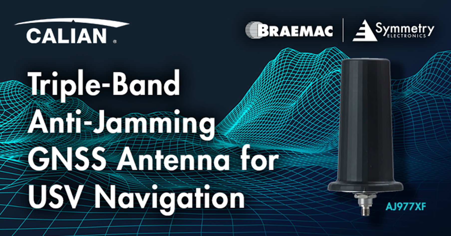
Calian AJ977XF Anti-Jam GNSS Antenna
The Calian AJ977XF Anti-Jam GNSS antenna is engineered for mission-critical positioning, navigation, and timing applications. Its Low Elevation Angle Nulling Antenna (LEANA) design provides 20 dB wideband suppression for signals between 0° and 15° elevation, reducing interference from nearby ground-based transmitters.
Combined with Tallysman’s eXtended Filtering technology, the antenna resists saturation from out-of-band signals while maintaining high gain and precise phase center. IP67-rated and compliant with RoHS and REACH standards, the AJ977XF ensures reliable performance in challenging RF environments and under heavy jamming conditions.


Subscribe
Stay up to date with industry and supplier news!