- Home
- Braemac Blog
- GNSS vs GPS
GNSS vs GPS

About Braemac Americas Team
A satellite navigation or "satnav" system is a network of satellites that provides autonomous geo-spatial positioning with global coverage. This allows small electronic receivers to determine their precise location (longitude, latitude, and altitude/elevation) using radio signals sent from satellites with a clear line of sight. While the terms "GNSS" and "GPS" are often used interchangeably, there are key differences between the two that every developer and end-user should understand.
What is Global Navigation Satellite System (GNSS)?
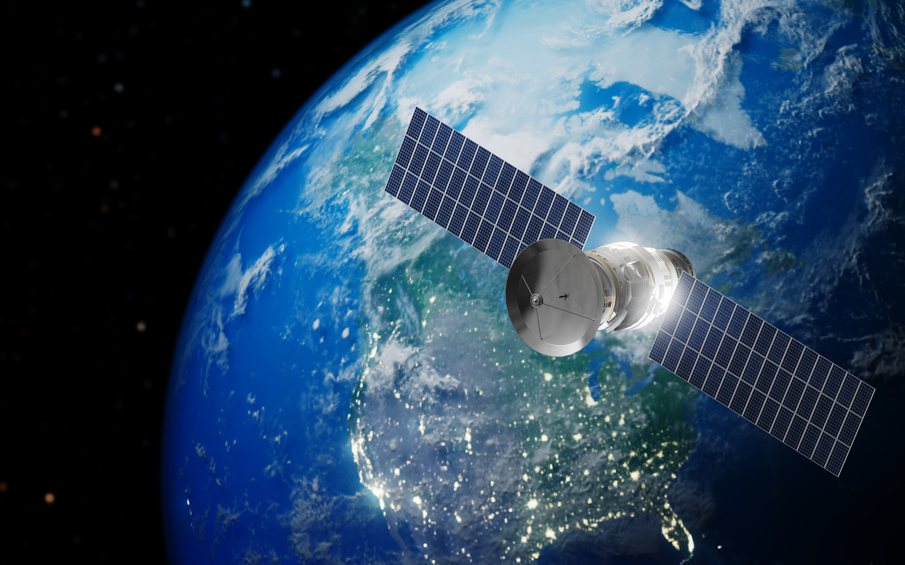
GNSS stands for Global Navigation Satellite System and refers to any satellite navigation system providing autonomous geo-spatial positioning with global coverage. In GNSS, satellites are organized into constellations, groups of satellites working together in coordinated orbits to provide continuous coverage. Major constellations include GPS, GLONASS, Galileo, BeiDou, and other regional systems that serve specific areas.
The advantage of having access to multiple satellite systems is improved accuracy, redundancy, and availability. Even if one system fails or is obstructed by “urban canyons” and dense foliage, a GNSS receiver stays locked. It simply switches to another constellation, ensuring a seamless, high-precision fix where single-system devices would fail.
Understanding Global Positioning System (GPS) within GNSS
The US Global Positioning System (GPS) is a satellite-based navigation system that provides positioning, navigation, and timing information to users worldwide. As of late 2025, the Federal Aviation Administration cited that there are currently 31 GPS satellites orbiting the Earth at an altitude of approximately 11,000 miles. Operational since 1978 and globally available since 1994, GPS remains the world's most utilized and recognized satellite navigation system.
While it was originally designed for military applications, GPS has become a primary location intelligence resource for a wide range of industries spanning precision agriculture, industrial automation, and global transport networks. Through continuous modernization of its satellite fleet, GPS remains a leading navigation system, delivering the high-precision timing and positioning data that supports today’s mission-critical infrastructure.
Key Industrial Applications for GNSS and GPS Technology
Satellite positioning has evolved far beyond its origins, now powering a vast array of critical industrial infrastructure:
- Tracking/Mapping Devices: Used for geolocation, surveying, fleet tracking, and mapping of terrain or assets.
- Industrial Machinery: Provides precise positioning for construction equipment, automated mining vehicles, and manufacturing automation.
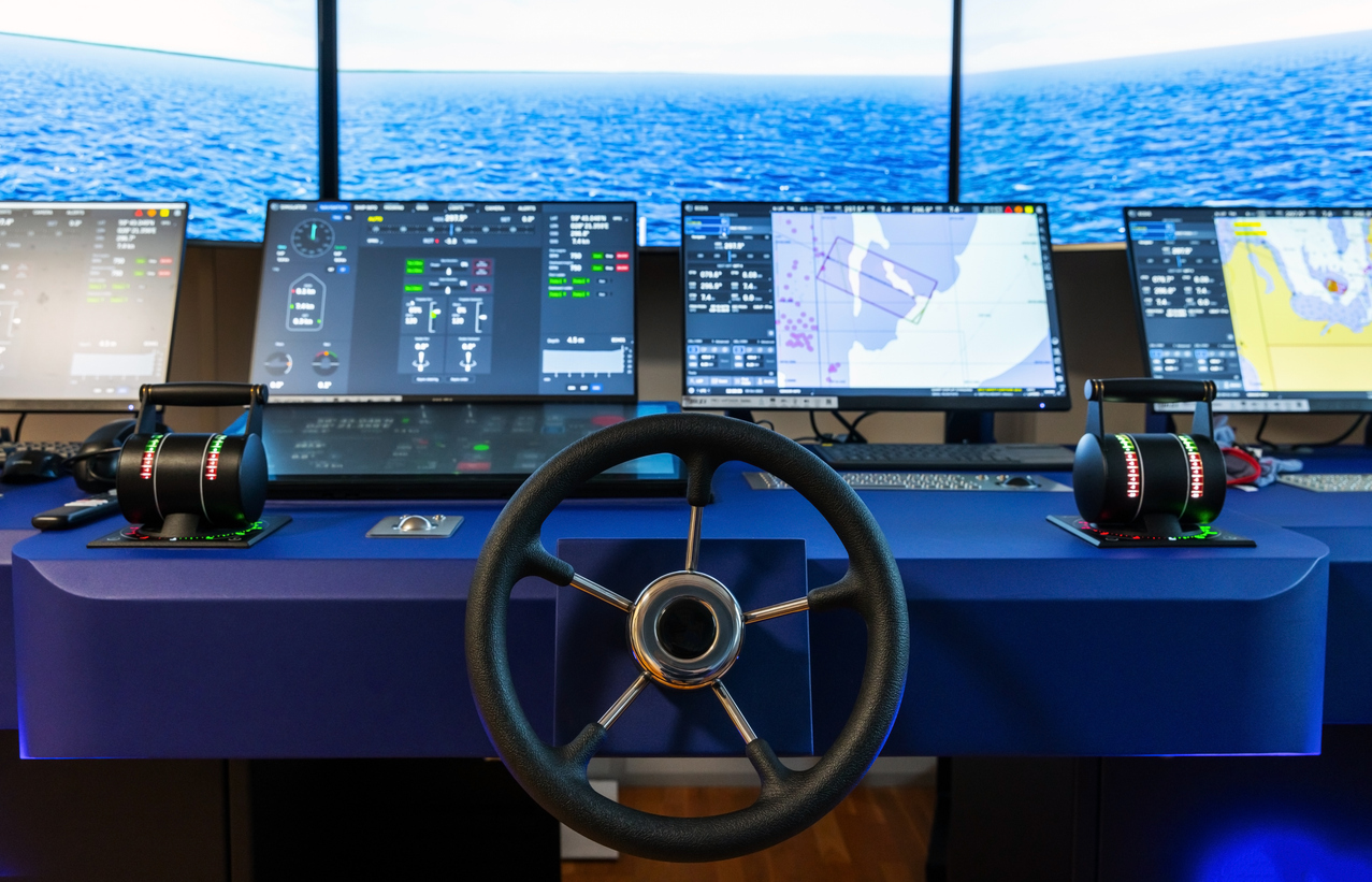
- Marine vessels: Supports navigation, route planning, and port operations for ships and boats.
- Air Navigation: Ensures safe and efficient flight paths, air traffic management, and precision approaches for aircraft.
- Automotive: Powers in-car navigation systems, route optimization, ride-sharing apps, and autonomous vehicle guidance.
.jpg)
Today, GPS and GLONASS are joined by Galileo and BeiDou as fully operational global systems, which are widely used and supported by organizations such as UNAVCO for research and geodetic projects. Global coverage for each system is achieved by a satellite constellation of 20 to 30 medium Earth orbit (MEO) satellites spread across several orbital planes. The actual systems vary but use orbital inclinations of greater than 50° and orbital periods of roughly twelve hours, maintaining an altitude of about 20,000 kilometers or 12,000 miles.
How Braemac Americas Supports GNSS-Enabled Innovation
As a leading provider of electronic components and system-level solutions, Braemac Americas is uniquely positioned to support the development of GNSS-enabled applications. By leveraging a broad portfolio that spans semiconductors, embedded connectivity, high-precision sensors, and integration technologies, Braemac Americas helps engineers design reliable, high-performance positioning solutions.
Complemented by a feature-rich set of value-added services including engineering support and design assistance, Braemac Americas empowers teams to accelerate development, optimize system performance, and deliver future-ready solutions across navigation, tracking, and industrial applications.
u-blox ZED-F9
The u-blox ZED-F9 series provides a seamless silicon-to-cloud solution when paired with the PointPerfect Flex PPP-RTK service. The ZED-F9R utilizes sensor fusion, combining GNSS with an integrated inertial measurement unit and wheel ticks, for high-precision dead reckoning in difficult environments like tunnels or urban canyons. These professional-grade modules support both SPARTN and RTCM data formats, allowing for fast convergence and centimeter-level accuracy (typically 3-6 cm) while reducing mobile data costs by up to 90%. For attitude-sensing applications, the ZED-F9H version enables precise GNSS-based heading information between a base and rover.


u-blox NEO-D9
The u-blox NEO-D9S-00B and NEO-D9C-00B are specialized data receivers that enable high-precision GNSS by decoding satellite correction streams. The NEO-D9S acts as the essential link for PointPerfect Flex via L-band satellite, providing a reliable alternative to internet-based corrections with over 99.9% uptime. Meanwhile, the NEO-D9C supports the Japanese QZSS L6 band, offering access to free CLAS and MADOCA services via two concurrent L6 reception channels. Both modules allow high-precision receivers to achieve centimeter-level accuracy without the need for terrestrial data links.


Gateworks GW16143
The GW16143 from Gateworks is a turnkey Mini-PCIe card featuring the u-blox ZED-F9P multi-band GNSS module for high-precision industrial positioning across all four major constellations. It is fully compatible with u-blox’s PointPerfect Flex correction service, utilizing both internet and L-band satellite signals for reliable up time across entire continents. The hardware includes a rechargeable lithium battery for fast cold-starts and supports SPARTN, UBX, and RTCM message formats to achieve centimeter-level accuracy with RTCM 3.x. The GW16143 is optimized for Gateworks single board computers to enable rapid deployment of autonomous robotic and agricultural machinery.


Satellite Navigation Frequently Asked Questions
What is the difference between GNSS and GPS?
The difference between GNSS and GPS is that GNSS is a general term that refers to all global satellite navigation systems, while GPS is one specific satellite navigation system operated by the United States. GPS is part of GNSS, but GNSS also includes systems such as GLONASS, Galileo, and BeiDou.
Why are GNSS and GPS often used interchangeably?
GNSS and GPS are often used interchangeably because GPS was the first widely adopted satellite navigation system and became the most recognized name. Over time, GPS became a common shorthand for satellite-based positioning, even when multiple GNSS constellations are being used.
What are the advantages of using GNSS instead of GPS alone?
The advantages of using GNSS instead of GPS alone include improved accuracy, increased reliability, and better availability. GNSS receivers can access multiple satellite constellations, which helps maintain positioning performance when signals are obstructed or when one system is unavailable.
Can GNSS work if one satellite system fails?
GNSS can work if one satellite system fails because GNSS receivers are designed to use signals from multiple satellite systems. This redundancy allows continuous positioning even if one constellation experiences outages or degradation.
What industries commonly use GNSS or GPS technology?
Industries that commonly use GNSS or GPS technology include agriculture, transportation, aviation, marine navigation, industrial machinery, automotive systems, and tracking or mapping applications.
Is GPS still important if GNSS exists?
GPS is still important even though GNSS exists because GPS remains the most widely used and well-established satellite navigation system in the world. It continues to play a critical role within GNSS by providing reliable positioning data for many applications.
How do satellite constellations provide global coverage?
Satellite constellations provide global coverage by deploying 20 to 30 satellites in medium Earth orbit across multiple orbital planes. This configuration ensures that receivers on Earth can maintain line-of-sight access to several satellites at any given time.
Are GNSS signals used for civilian and military purposes?
GNSS signals are used for both civilian and military purposes. While GPS was originally developed for military applications, GNSS technologies today support a wide range of civilian uses, including navigation, tracking, and industrial operations.
Where can I find GNSS and GPS development solutions?
Braemac Americas supports GNSS and GPS development by providing high-quality receivers, antennas, modules, and related components, along with technical guidance throughout the design process. By understanding your accuracy, reliability, and integration requirements, our team helps you select the right technologies for tracking, navigation, and a wide range of industrial applications.
Tags:
GNSS
,
GPS
,
High Precision GNSS
,
Industrial Automation
,
IoT
,
Navigation Solutions
,
Position Tracking
,
Satellites
,
u-blox
Subscribe
Stay up to date with industry and supplier news!